2260 Highway 484
Brokerage Office: 352-629-6883
2260 Highway 484, OCALA, FL 34473


- MLS#: O6171221 ( Land )
- Street Address: 2260 Highway 484
- Viewed: 4
- Price: $600,000
- Price sqft: $0
- Waterfront: No
- Year Built: Not Available
- Bldg sqft: 0
- Days On Market: 339
- Acreage: 1.20 acres
- Additional Information
- Geolocation: 29.025 / -82.1629
- County: MARION
- City: OCALA
- Zipcode: 34473
- Provided by: ON ME REALTY
- Contact: Dany Arello
- 321-370-1474

- DMCA Notice
-
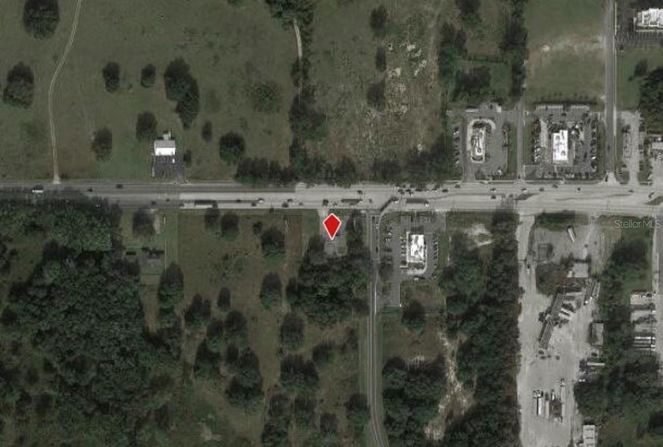
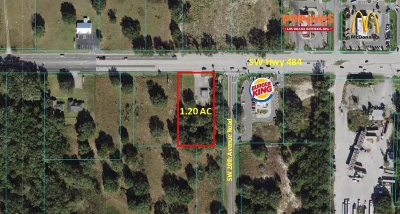
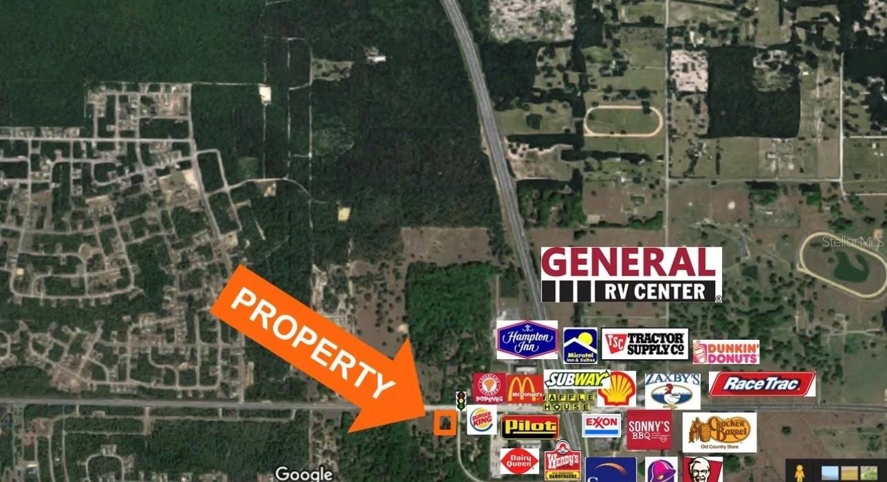
DescriptionINVESTMENT OPPORTUNITY AWAITS! Discover this prime 1.20 acre parcel with 160 feet of frontage at the junction of I 75 and Hwy 484 in Marion Oaks! This vacant land is strategically zoned for B1/B2 and B4, offering a multitude of possibilities. Situated in proximity to the Florida Crossroads Commerce Park and the new Dollar Tree Distribution Center, the area boasts enhanced appeal with numerous retail establishments. With a noteworthy Average Annual Daily Traffic (AADT) of 91,500 cars per day on I 75, this location ensures visibility and accessibility. The property features a small structure of no intrinsic value. Enjoy the freedom of no Homeowners Association (HOA) fees in Marion Oaks, a deed restricted community. Highlighted in the report is the completion of a "Phase I Environmental Site Assessment" & "Survey", offering valuable insights for your investment decision. Don't miss out on this exceptional opportunity!
Property Location and Similar Properties
Property Features
Home Owners Association Fee
- 0.00
Carport Spaces
- 0.00
Close Date
- 0000-00-00
Country
- US
Covered Spaces
- 0.00
Current Use
- Commercial
Garage Spaces
- 0.00
Legal Description
- SEC 12 TWP 17 RGE 21 COM AT NE COR OF SW 1/4 S 00-03-31 W 50 FT N 89-53-54 W 477.42 FT TO POB TH S 00-03-31 W 326.70 FT TH N 89-53-54 W 200.00 FT TH N 00-03-31 E 326.70 FT TH S 89-53-54 E 200.00 FT TO POB EXC COM AT THE NE COR OF SAID SW 1/4 TH N 89- 52-30 W 477.42 FT TH S 00-05-17 W 50 FT TO THE POB TH S 00-05-17 W 326.70 FT TH N 89-52-30 W 40 FT TH N 00-05-17 E 326.70 FT TH S 89-52-30 E 40 FT TO THE POB
Living Area
- 0.00
Area Major
- 34473 - Ocala
Net Operating Income
- 0.00
Parcel Number
- 41200-061-03
Property Type
- Land
Road Frontage Type
- Highway
Sewer
- Septic Tank
Tax Year
- 2023
Township
- 17S
Utilities
- Electricity Available
- Water Available
View
- City
Water Source
- Public
Zoning Code
- B4


